Naming the streets: a language for the Carré Sénart
 Specialized in scenography, design and visual identity, Pierre-Yves Chays participated in the creation of the street names of the Carré Sénart by developing “a linguistic toolbox that can be enriched as the Carré is built”. Carte blanche from the Hors-Série Le Carré Sénart. Story of a landscape, available on our online store.
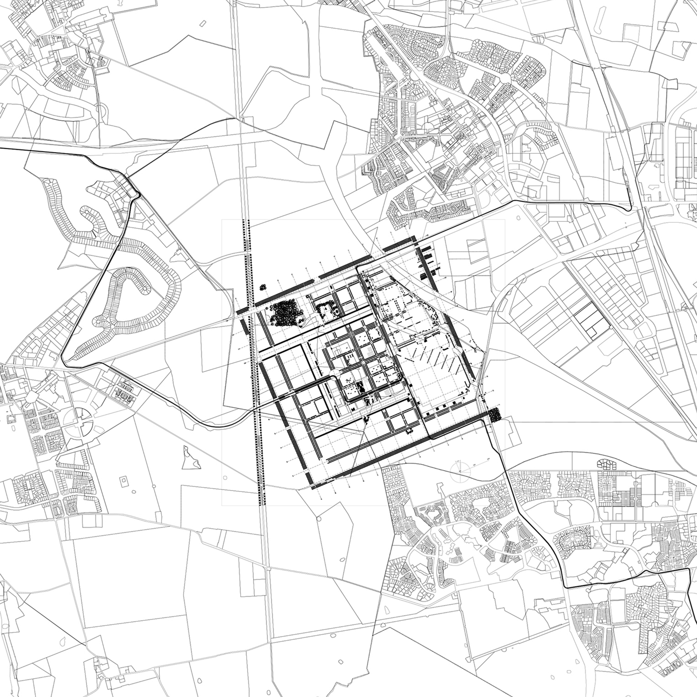
When François Tirot, the architect and urban planner responsible for the project, asked us to create the street names and toponyms for Carré Sénart we were like explorers entering a virgin territory. When we first saw the map with its connecting and communication roads all linked up without names, it felt like a tough challenge. This unusual request for a strategy to create street names in order to help the community express its identity was, in many ways, an approach as original as the development itself. Why not make use of the wealth of possibilities offered by the language, especially when the point was to make it visible in an urban development? And why not go beyond the resources traditionally used to name roads – political, sociolinguistic, historic, topographical, symbolic and so on?
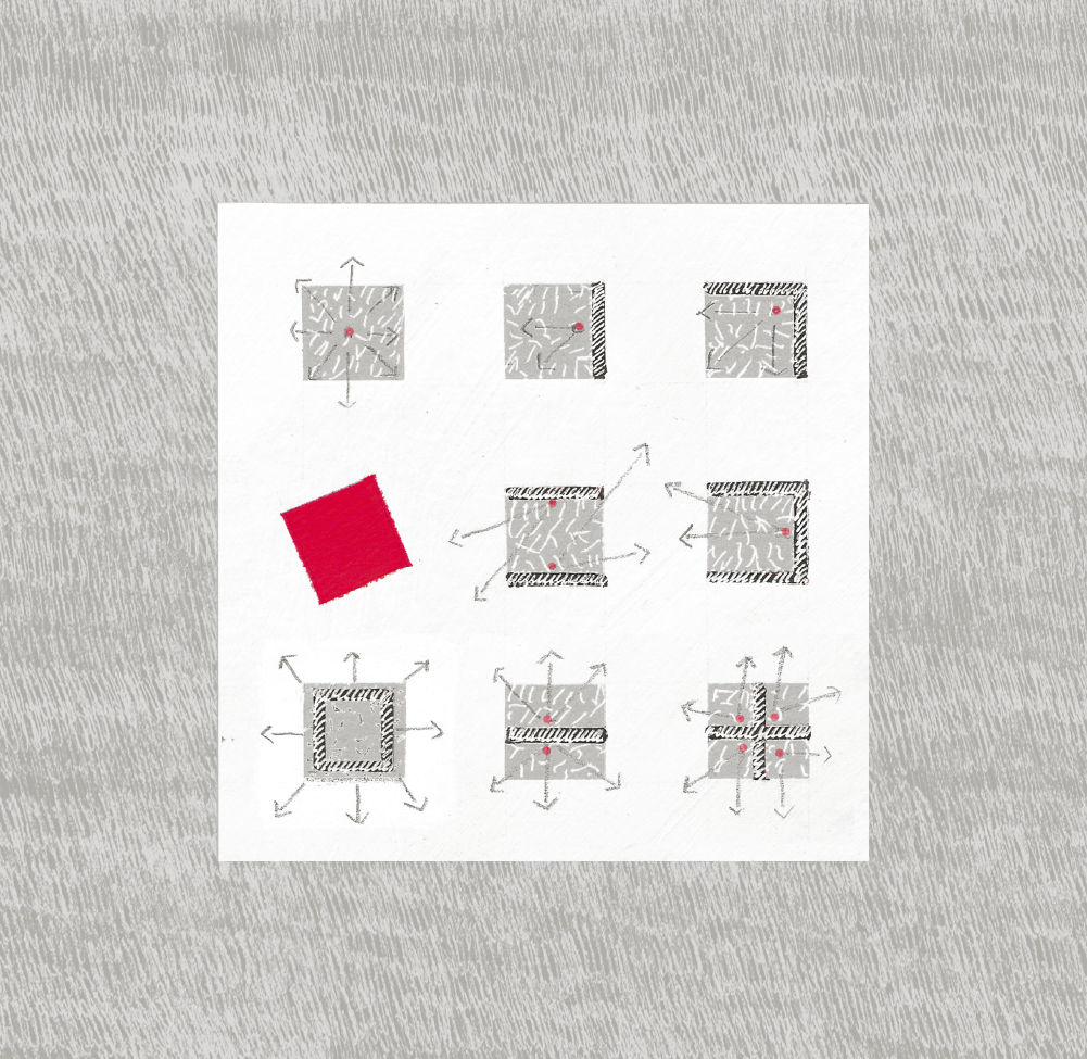
 Language expresses the role played by a territory of this kind – a new centre for many districts – in communication, interaction and sharing. The street names are, primarily, elements of language. Besides what they refer to, they invite us to “play” with language to highlight the diverse ways of living in an urban environment. This is why we developed a linguistic toolbox that could be applied spatially and added to as the Carré expanded. Firstly, the territory was divided into three interlocking semantic squares, each of which was used as a guideline to create street names, addressing three themes related to the space that emerged during our discussions: values, sensations and communications.
We then created a corpus of terms and their synonyms that was as open as possible. We added words used to describe thoroughfares (streets, passages, alleyways, avenues, and the like) and specific spatial components like fountains, squares and so on to provide a database of “first names” for road names. The values championed by the Carré Sénart – civic belonging, friendliness, togetherness, solidarity, and so on – were included in an approved lexicon. Words for what users experienced were also added: walk, stroll, celebration, community, etc. The names of natural places like canals, which occupy a significant place in the territory were listed.
This vast lexical field was used to develop a bank of names, categorised according to three levels of semantic squares using linguistic production modes such as modalisation, coupling, phrases, assemblages, and the like. Strictly speaking, open urban spaces are places of communication to go from one place to another. But metaphorically speaking, they are also spaces where residents, users and organisations interact. We wanted to shed light on this dual aspect in our research. It is a living language in an urban project under construction. We also always bore in mind the words of the philosopher Michel de Certeau: “History begins at ground level, with footsteps.”
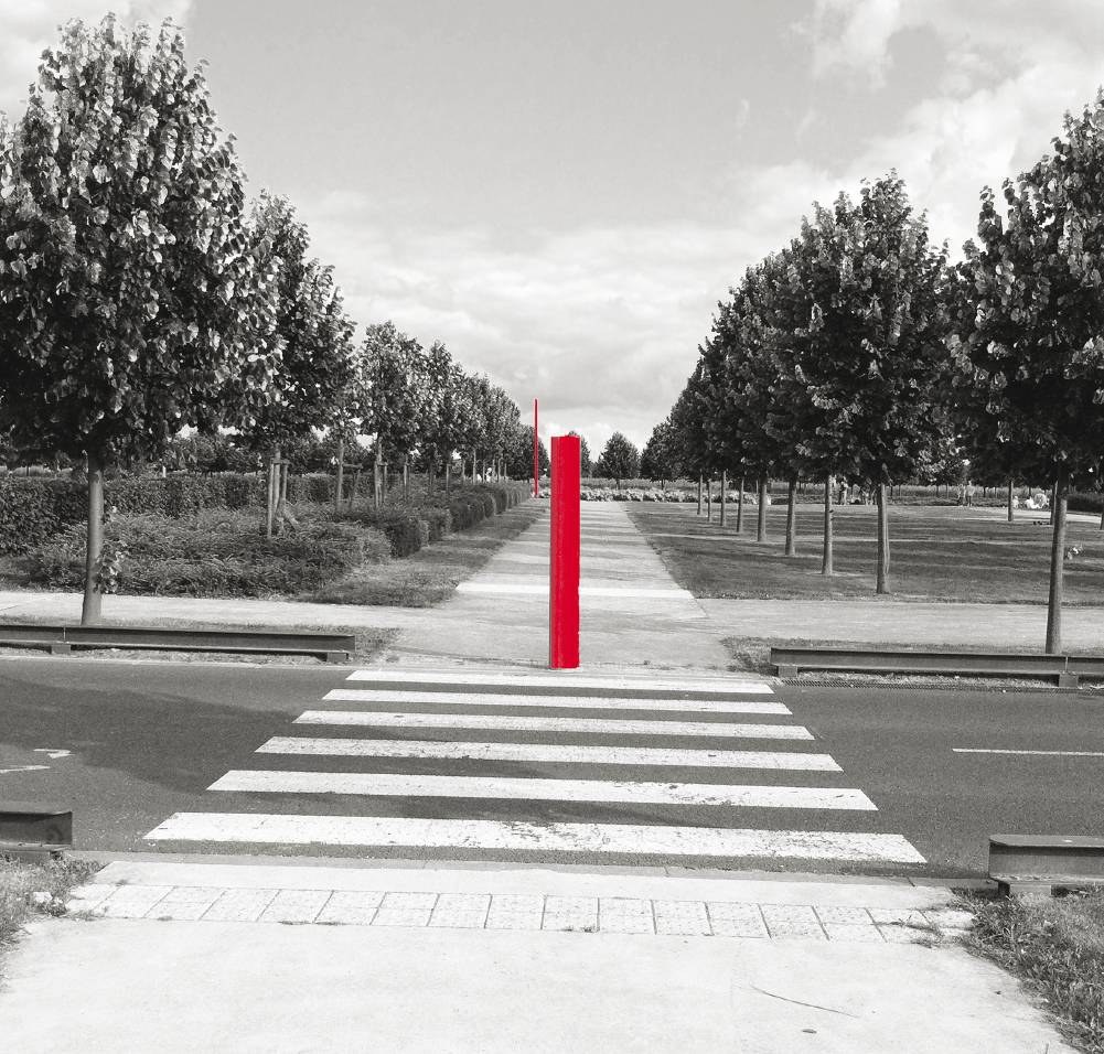
“You are here.” So, you are not there. How often do we end up, full of doubt, in front of a map or plan? Questioning. Anxious. Impatient to understand. When we see the “You are here” label, there is an initial sense of relief; but it is not over yet.
Reading the map or plan is contingent on being able to understand how it is oriented, the scale and key. Which way is North? Roughly how far is one point from another. What does that symbol mean? With all that worked out, the next step is projection. Being here and going there. And so, something strange and difficult occurs: we have to convert the data visible on the map or plan into the physical reality around us. For many it is a moment of instability, lacking precision, sometimes to the point of disorientation. And then, often on the spur of the moment, the decision is made: it’s that way! So begins a period of wandering, as our memories make new links and connections between landmarks we may or may not encounter. We progress, make a turn, or turn back. Today, this is all disappearing: take a bow, GPS. We follow a voice, a dot, a blue line.
Orientation is first a matter of movement, but it is also fundamental to bioclimatic design. These are factors often forgotten by many: the four points of the compass and the prevailing winds. To design a project that makes the most of bioclimatic techniques, there are three questions to address. First: what physical aspects of the site and neighbouring features create the immediate environment? Second: given these aspects of context, what positive or negative effects of the sun (benefits or protection) need to be considered? Third: do we need protection from the prevailing wind? The answers to these simple questions help optimise the orientation, position, and form of a project, large or small, and to ensure the organising principles for its use are the right ones. These considerations should be adapted to the physical and climate constraints of the site; they must also, and above-all, be adapted to the socio-economic constraints of a project.
Getting the orientation right must be a constant concern. Establishing an orientation
means providing a specific answer to how to organise space in the labyrinthine context of urban expansion. Changes and alterations create disorientation: no lines, no landmarks. Standardised development of spaces has produced uniformity. The same everywhere. Orienting things well means focusing on the idea of points of view. Establishing a perspective.
Being easily able to inventory what you can see from where you are. Providing a vista. Opening up. It is placing landmarks in the setting, to ease recognition. Orienting things well means taking a step back.
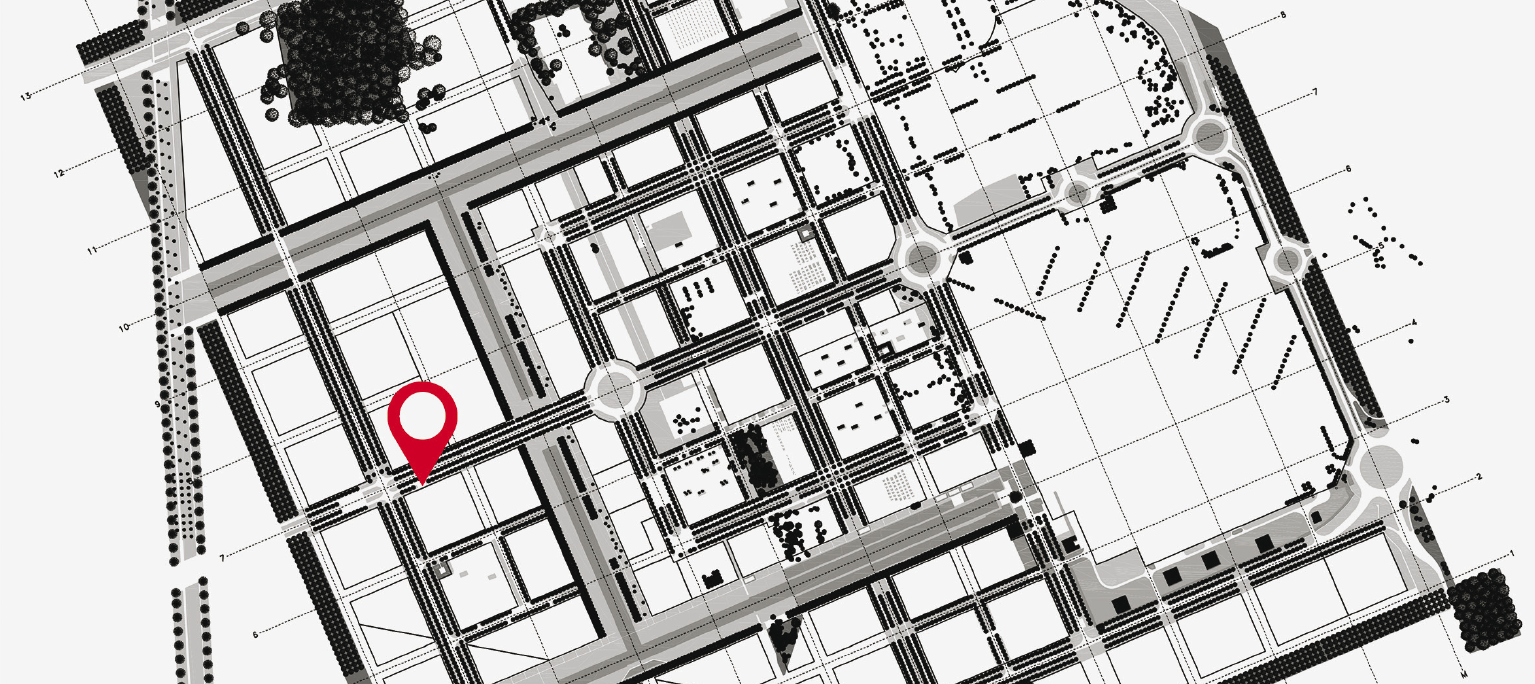
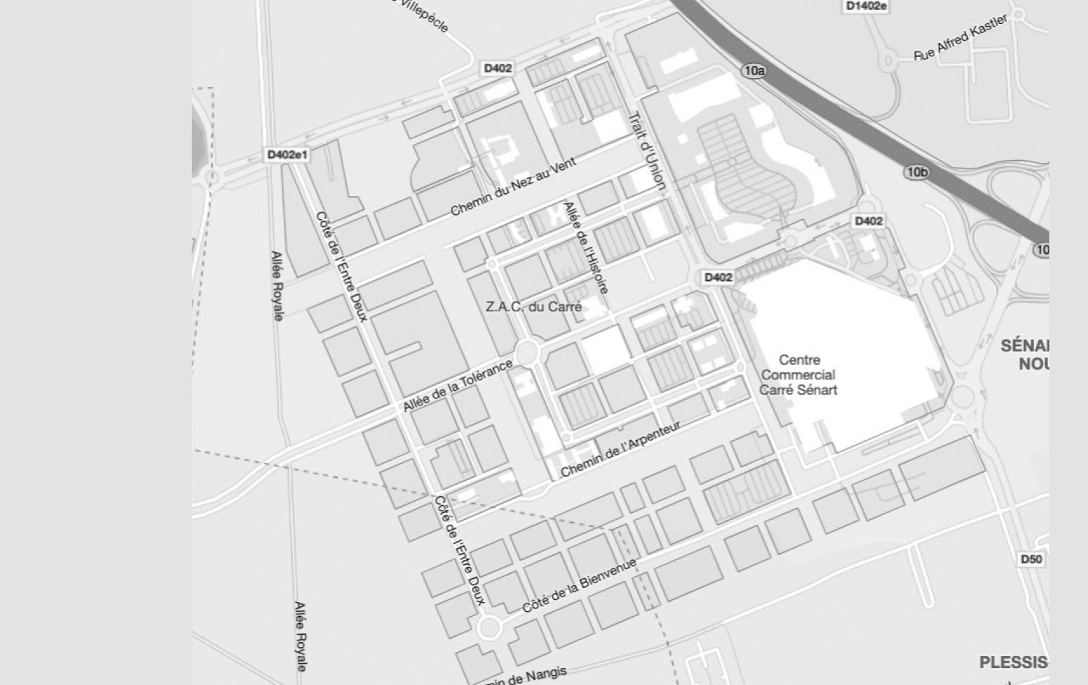
The Carré’s layout is oriented according to the traces of agricultural history that the archaeologists identified: its axis is 23° north-west/south-east. This is a generally favourable orientation for both the sun and the wind: the Rougeau forest, to the south, shelters the Carré from the prevailing south-westerlies. The overall alignment is not, however, enough to ensure buildings are correctly oriented within the Carré’s internal framework.
It can often be difficult to make commissioning entities, and – unfortunately – sometimes architects, understand that the south-facing side of a building cannot be identical to the north, that solar impacts vary, that the façades need to be considered differently. They need to reflect the environment and climate: a north-facing façade does not necessarily need to have fewer windows, but it should have increased thermal insulation. They have different characteristics. The shadows cast are important: shadows in the horizontal
and in the vertical; different sorts of shadow cast by the leaves of nearby trees; winter/summer.
More thoughts on the city in our issue 448: "Tomorrow's Cities" available on our online store.
See also