Carré Sénart: the ancient history of a new town
Engineer in charge of research at the Inrap, coordinator of the archaeological operations of Sénart from 1992 to 1996, Jean-Christophe Bats writes about the history of the Sénart plateau, “which was never an empty territory”.
A public initiating authority, the Regional Archaeology Service (SRA-DRAC Île-de-France) can prescribe archaeological investigations prior to development works. The aim of archaeology is to preserve the “archives beneath the ground” by excavating and studying remains; in other words, it prevents the destruction of archaeological information by planned construction projects and passes this knowledge on to future generations. This is the founding principle of preventive archaeology. The archaeological evaluations and excavations at the Ville Nouvelle de Sénart were carried out within this framework by the French National Archaeology Association (AFAN) and then INRAP. We knew, in this particular case, that the preventive archaeological programme would span a vast area eventually covering ten districts and bring to light a large number of archaeological remains.
I led the first archaeological coordination between 1992 and 1996, which laid the foundations for an institutional, functional and scientific framework under the umbrella of the Regional Archaeology Service (SRA) and built trust between researchers and development companies. Each time a new development has been added, an independent operation has been carried out, right up to the present day. Each team and specialist operating in this area works closely together within the same framework.
Following the first finds, it was clear that we needed to include the study of these extremely varied sites in a broad timeframe, as part of a vast corpus. What connects a Middle Palaeolithic site
(70,000 BCE), an Iron Age necropolis (2,500 BCE), 18th-century farms and an 21st-century urban development? They are all found in the same space: the Sénart plateau. It was a question of scale and, for the corpus to be meaningful, we needed to determine a common language to establish a dialogue between the periods, besides what made each site unique, of course. To explore the local archaeology in more detail, we naturally looked at the spaces in which they were embedded: the roads, fields, borders, forests, and ditches, generally seen as “non-sites”, but which are essential to our understanding of the cultural and economic development of a society. This common language –this scientific problem– was based on studies of how the space has been appropriated for each of the cultures encountered.
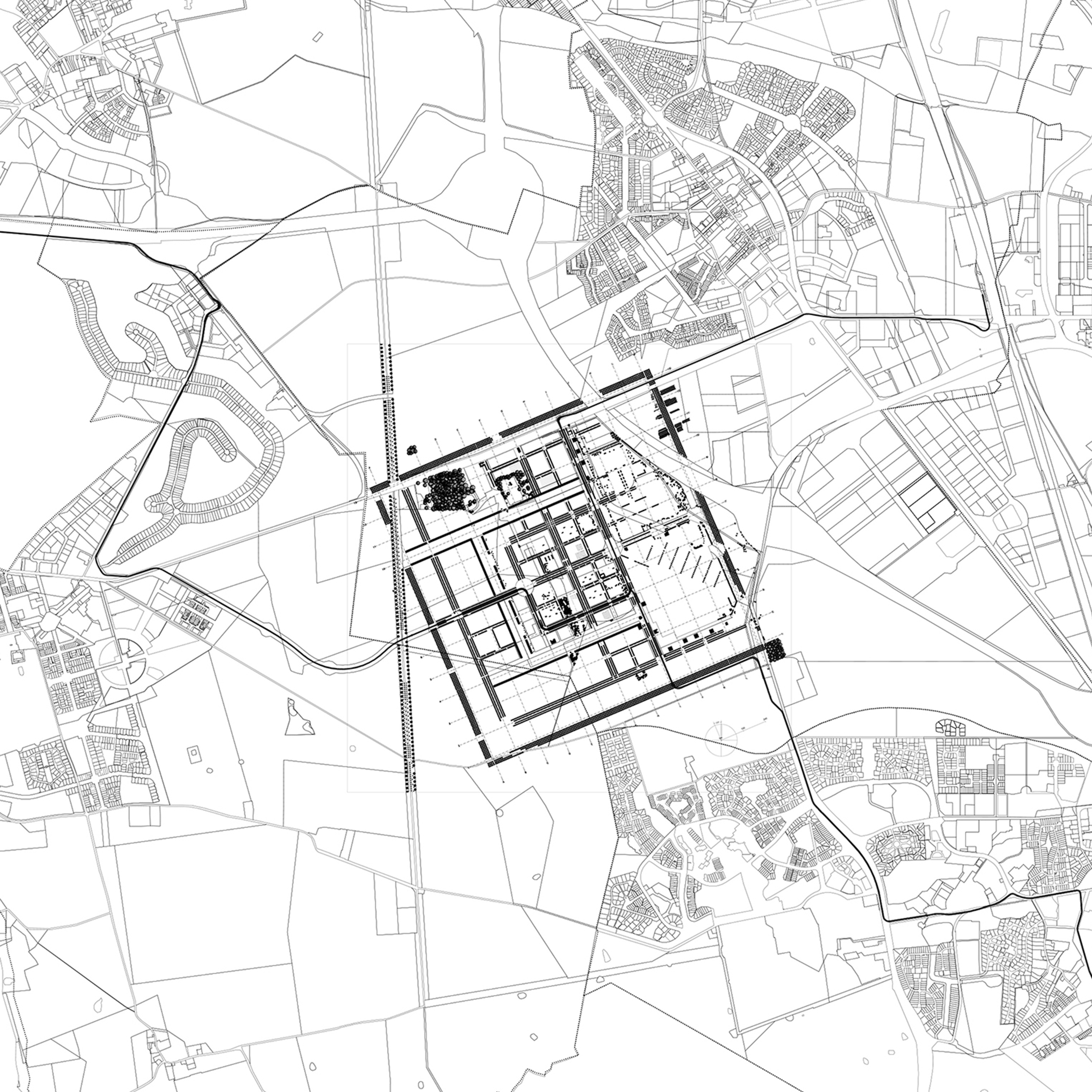
This language primarily provided the basis for a long-term dialogue with the EPA Sénart because all human cultures develop spaces. Archaeological observations show that this space, the Sénart plateau, has never been empty territory but instead crossed, used and altered, and is therefore anthropic, and has been for many years. It has its own history. By taking into account this heritage, this historical space revealed by excavations in the organisational diagrams of the town we can place its development within this diachronic process.
This specific multiscale approach includes, as a result, all the protagonists: urban planners, developers, archaeologists and users as a group or individually. The new residents of the Ville Nouvelle belong to this history and are actors in it.
Article from our special issue Le Carré Sénart, Story of a Landscape, available on our e-shop.